Listeners:
Top listeners:
-
 play_arrow
94.3 Rev-FM The Rock of Texas | Where Texas Rocks
-
 play_arrow
99.1 The Buck Texas Country's Number 1 Country
-
 play_arrow
103.7 MikeFM Your Texas Hill Country Mix Tape
-
 play_arrow
KERV 1230 AM
-
 play_arrow
JAM Sports 1 JAM Broadcasting Sports 1
-
 play_arrow
JAM Sports 2 JAM Broadcasting Sports 2
43 million people under red flag warnings in the Northeast due to fire danger

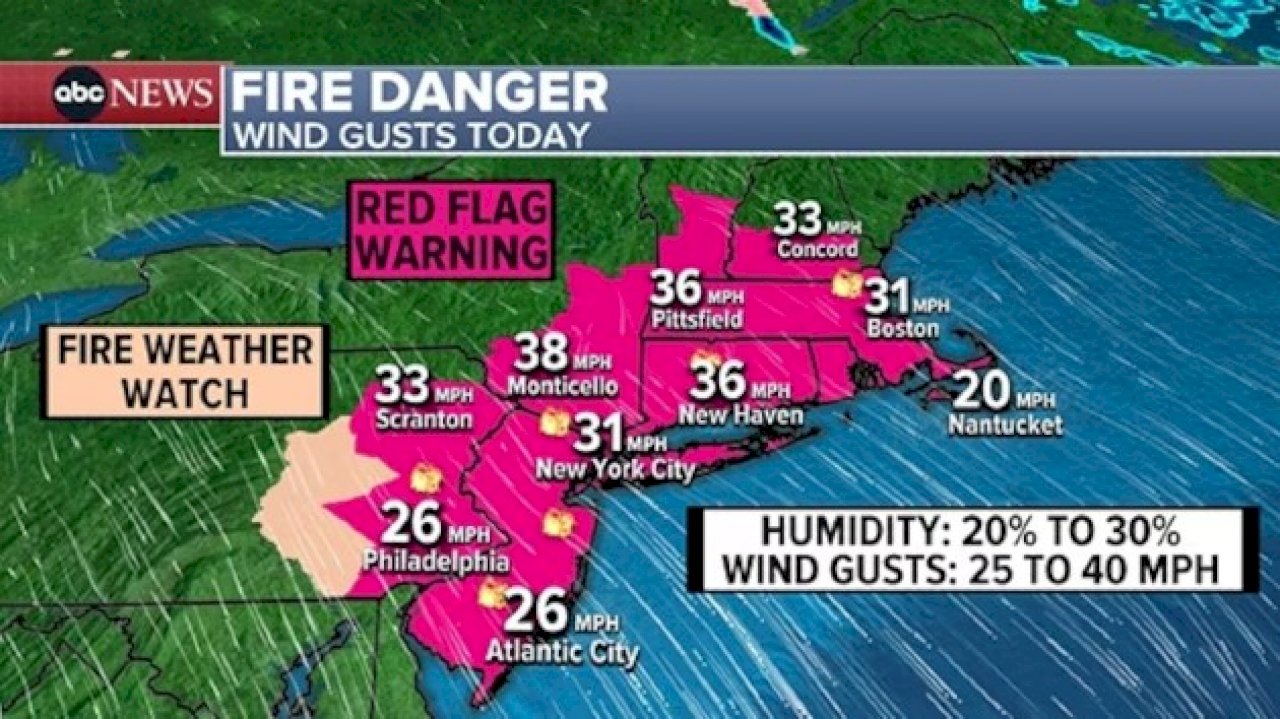
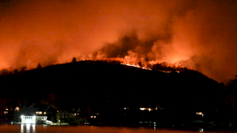
(NEW YORK) — Nearly 43 million people are under red flag warnings across eight states as the fire danger remains elevated in the Northeast.
Relative humidity as low as 20% coupled with wind gusts up to 40 mph could help accelerate the spread of any fires.
While Sunday brings a slight improvement in fire weather conditions, the overall fire risk will continue into next week across much of the Northeast.
There is no measurable rain in the forecast for the next several days in this area, although there are some signs that much-needed rain may arrive in the region late Wednesday into Thursday. At this point, it doesn’t look like a complete soaker, but any bit of rain will help.
The lack of rainfall will only exacerbate the moderate to extreme drought conditions across the area.
Storm out west
In the Pacific Northwest, a strong storm system will be moving onshore this weekend, bringing periods of rain and significant mountain snow.
Winter alerts are in effect for much of the Cascades and northern Rockies, covering portions of six states from Washington to Utah. At least 1 to 2 feet of snow is possible in the mountains, especially above 2,000 feet in elevation.
Severe threat to Texas
A new storm will be forming in the Southern Plains on Sunday, bringing a severe weather potential to portions of Texas.
Both Sunday and Monday have a slight risk for severe storms with damaging winds, large hail, and isolated tornadoes.
Tropical Storm Sara
Tropical Storm Sara has been drenching much of Honduras over the last couple of days, with an increasing threat for mudslides and potentially catastrophic flash flooding. Rainfall amounts of 15 to 25 inches are expected, with localized amounts up to 35 inches due to this slow-moving storm.
Sara is forecast to drift across Belize and the Yucatan Peninsula of Mexico, dissipating into a remnant trough by early Monday.
The threat of this storm redeveloping into a tropical system in the Gulf of Mexico is slim due to unfavorable conditions, so a U.S. landfall from this tropical system is not likely at all.
There will be some impacts to the U.S. in the form of tropical moisture being fed into passing front, leading to a good chance for heavy rain along the Gulf Coast and into Florida on Tuesday and Wednesday.
Copyright © 2024, ABC Audio. All rights reserved.
Written by: ABC News
Similar posts
-
Top popular

Ingram man charged with murder after fatal shooting

Kerr Crime Stoppers offering reward up to $5,000 for information in last week’s non-viable school threat

KISD asks parents to communicate with children about words and actions after ‘copy cat’ threat note found at middle school

City of Kerrville Parks and Recreation reminds citizens that a Red Flag Warning is in effect until further notice

City of Kerrville says that May 7 General and Special Elections will proceed


