





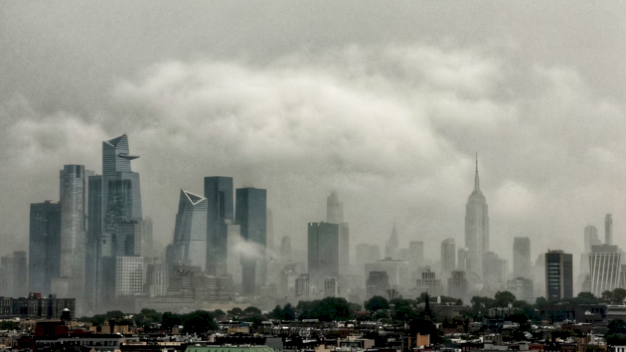
(NEW YORK) — The Northeast and Mid-Atlantic are bracing for a new round of severe storms and possible flash flooding on Tuesday after getting hammered by heavy rain on Saturday.
The greatest threat — a level 3 out of 5 risk — will span from northeastern Kentucky to New Jersey, including Pittsburgh, Washington, D.C., Baltimore and Philadelphia.
Numerous severe thunderstorms with potentially destructive winds and tornadoes are possible in this region.
Flash flooding will be a concern for a large swath of the Interstate 95 corridor, from D.C. to Philadelphia to New York City.
Flood watches have been issued for Tuesday, from Delaware to southern New York, where rainfall rates could exceed 1 inch per hour, potentially triggering flash flooding, especially in urban areas. This includes Philadelphia and New York City.
There is growing concern for slow-moving thunderstorms bringing torrential rain in some areas on Tuesday, possibly unfolding by the late morning or early afternoon.
The storms are expected to last throughout the day.
Copyright © 2026, ABC Audio. All rights reserved.